Posts tagged google earth
Tracking Earthquakes with Google Earth
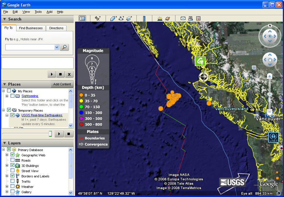
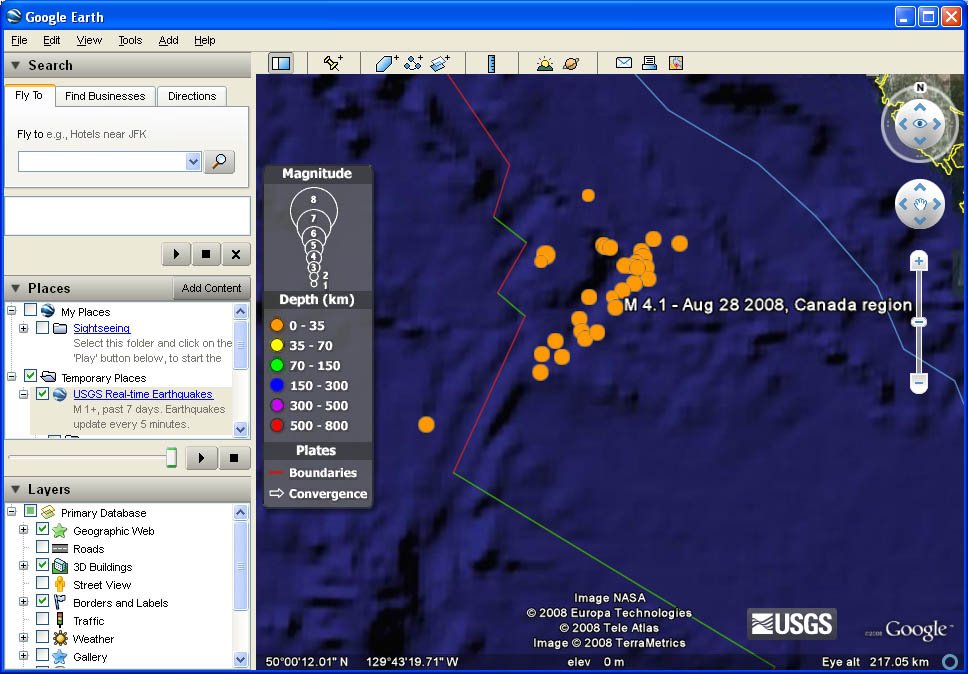
3A magnitude 6.1 earthquake this morning off the coast of Vancouver Island was not felt on land, despite being the biggest yet in a swarm of quakes that have hit the region this week. This latest earthquake was reported at 5:37 this morning, centred 152 kilometres west-southwest of Port Hardy and about 10-kilometres below the ocean floor. Calls to businesses in the town so far show no one felt it, and there was no damage and no tsunami. There have been 18 quakes since Tuesday (see map below), all around the Juan de Fuca Ridge. They’ve ranged between magnitude four to five, until today’s quake. (Link)
Maybe this just shows what a geek I am, but after reading this, my first thought right after “Glad no one was hurt!” was “Let’s track this on Google Earth!” If you go to this page on the U.S. Geological Survey’s web site, you can download a KML which will display earthquake data, updated every 5 minutes. A KML is just some geographic data that Google Earth can use, and if you already have Google Earth installed, just downloading it will open it automatically. Once it opens, you will see a series of colored dots, each of which indicate earthquake activity. Corresponding times and magnitudes are available when you move the cursor over the dots.


